v2.2.0
New Features
See your Passenger Services reach at a glance (FSC-4011)
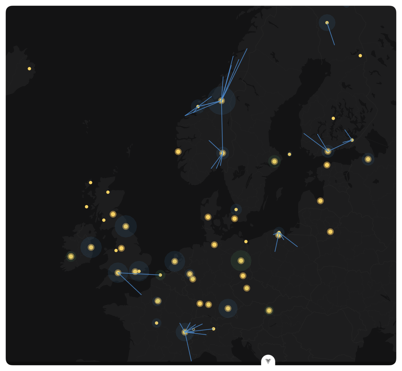
The Operations Cockpit map now visualises Passenger Services reach when the Base Operations lens is active. Every visible Passenger Services building draws a translucent radius circle showing its auto-complete coverage, and a line is drawn from each Passenger Services to every configured bespoke onward-charter destination.
Hover over a radius circle to see the source airport, the Passenger Services variant, the owning company, and the auto-complete radius in nautical miles. Hover over a line to see the source and destination airports, and the release target (Internal Collaboration or the partner company name).
Visibility piggybacks on the existing building accessibility rules: you'll see your own Passenger Services reach in your company colour, and any partner Passenger Services reach in the partner colour. Toggle Base Operations off and both layers disappear.